


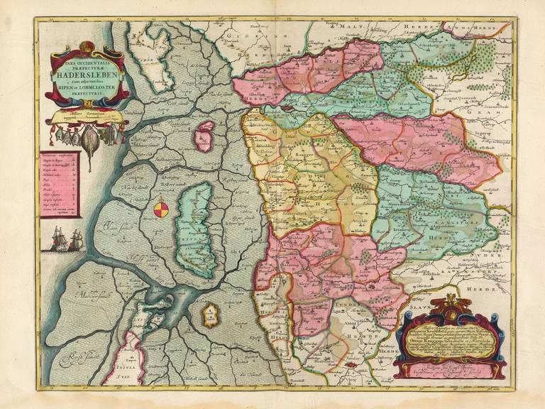
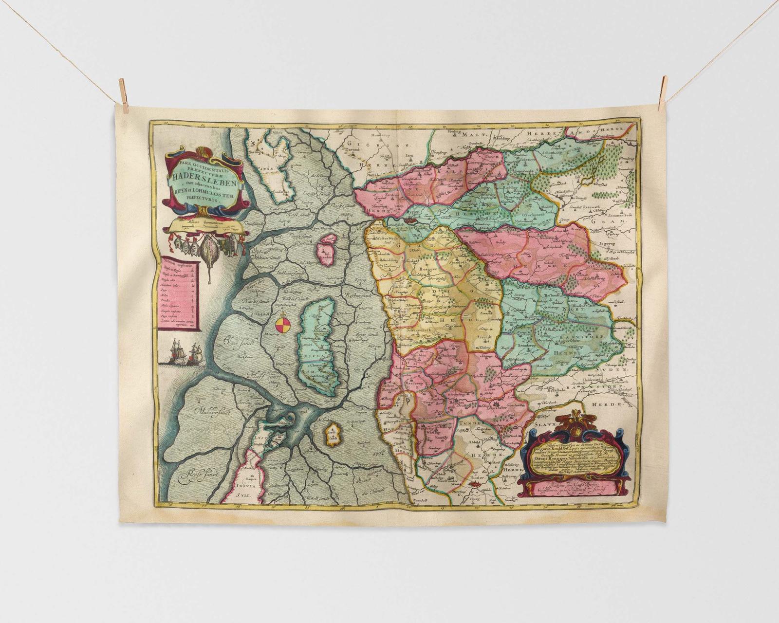
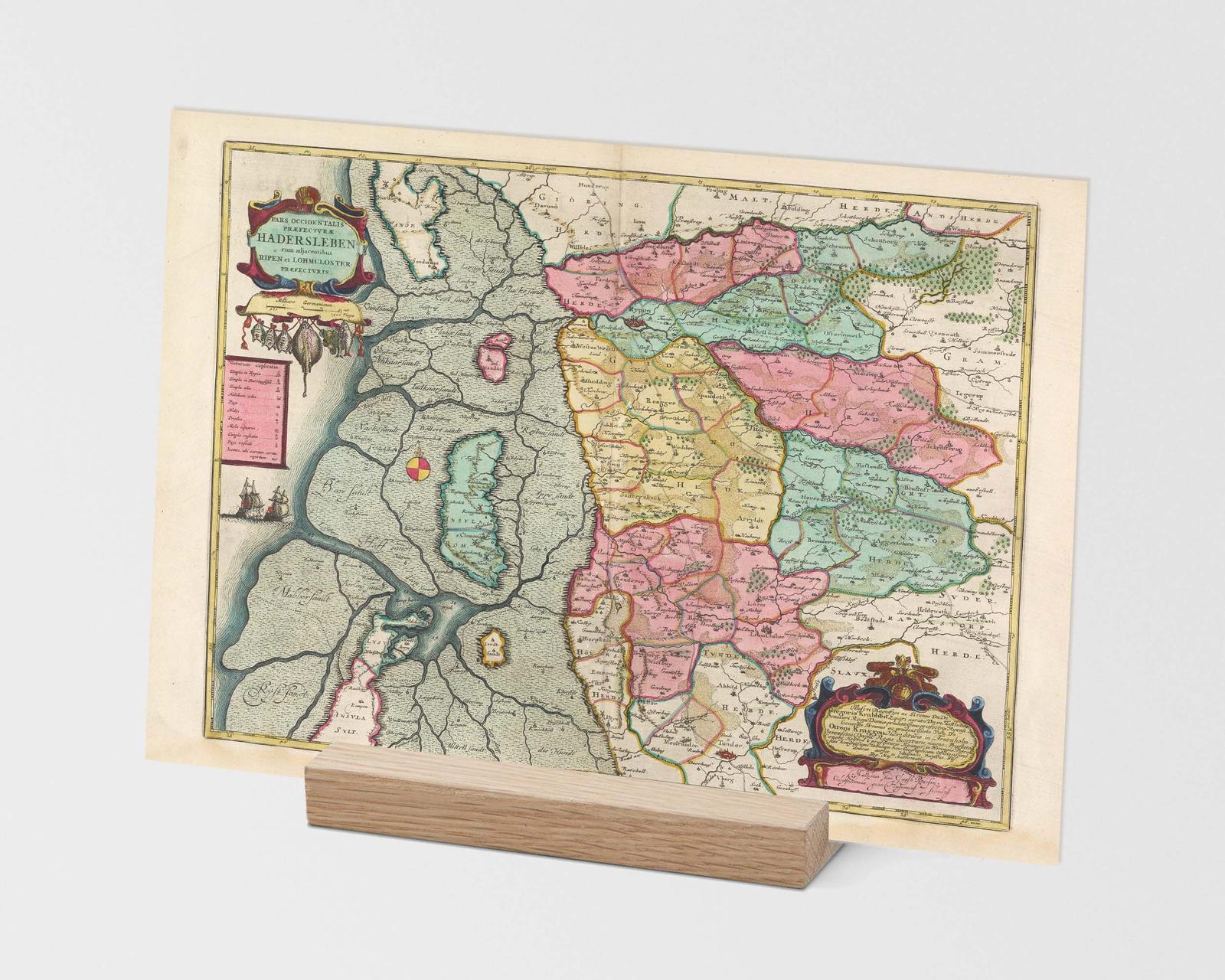
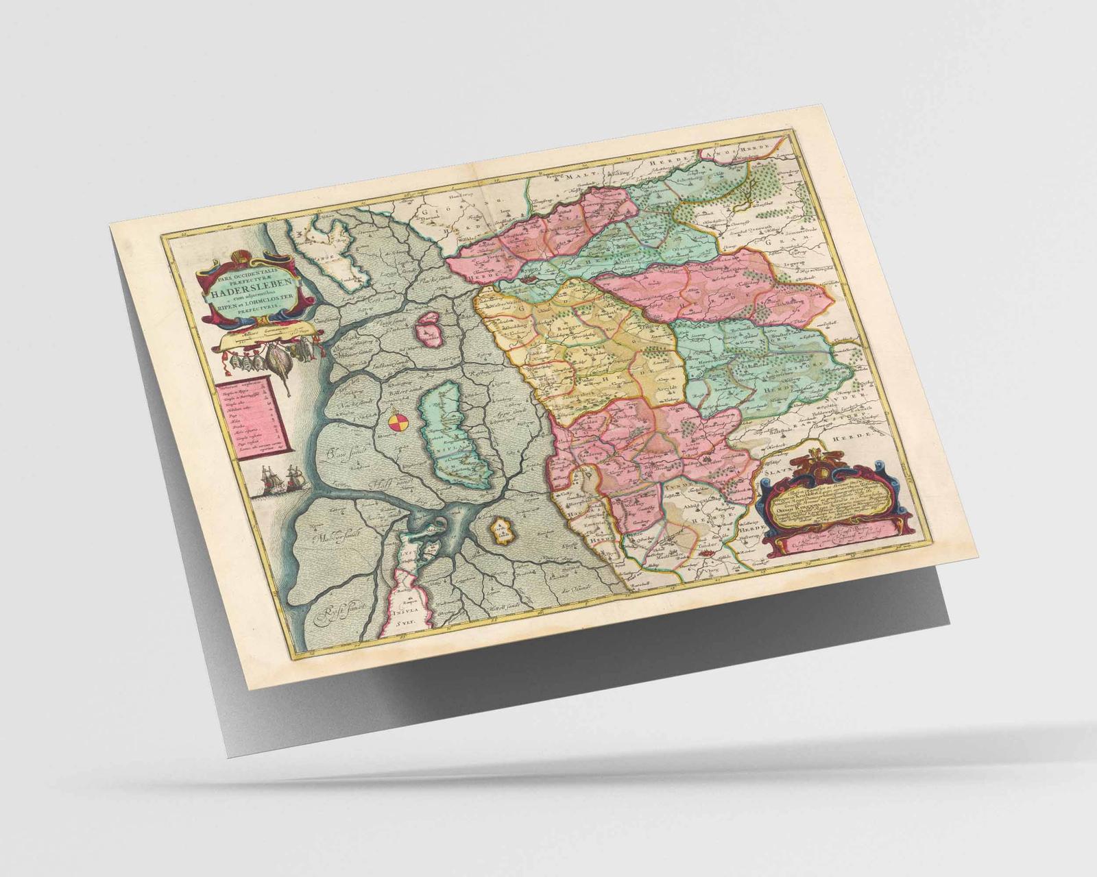
This antique map, created in 1665, is titled ‘Pars Occidentalis Praefectvrae Hadersleben’ which translates to ‘Western part of the Hadersleben district’. Denmark in the early 17th century was a country ruled by absolute monarchs, with a strong economy based on agriculture and trade. The country was bordered by Germany to the south and had a long coastline with access to the North Sea and the Baltic Sea. The map shows a central location of Skærbæk, Ribe, and Frifelt, but doesn’t provide specific details about what can be seen in those areas. Overall, this map offers a glimpse into the geography and borders of Denmark during the 17th century.
Sizing Information

Dimensions
in Centimetres: 30 x 40cm
in Inches: 12 x 16"
Note that this is a borderless print; the image will be printed to the very edge of the paper size stated above.
Should you require a custom border or margin please get in contact before purchasing.
Real World Example

![]()
Model is 5'4" (1.60m)

Dimensions
in Centimetres: 60 x 45cm
in Inches: 18 x 24"
Note that this is a borderless print; the image will be printed to the very edge of the paper size stated above.
Should you require a custom border or margin please get in contact before purchasing.
Real World Example

Model is 5'4" (1.60m)

Dimensions
in Centimetres: 80 x 60cm
in Inches: 24 x 32"
Note that this is a borderless print; the image will be printed to the very edge of the paper size stated above.
Should you require a custom border or margin please get in contact before purchasing.
Real World Example
Model is 5'4" (1.60m)

Dimensions
in Centimetres: 75 x 100cm
in Inches: 32 x 40"
Note that this is a borderless print; the image will be printed to the very edge of the paper size stated above.
Should you require a custom border or margin please get in contact before purchasing.
Real World Example
Model is 5'4" (1.60m)

Dimensions
in Centimetres: 100 x 135cm
in Inches: 40 x 53"
Note that this is a borderless print; the image will be printed to the very edge of the paper size stated above.
Should you require a custom border or margin please get in contact before purchasing.
Real World Example
Model is 5'4" (1.60m)
Modern day map
More place names that may be covered by this map: Bramming, Skærbæk, Aventoft, Bredebro, Frifelt, Schleswig Holstein, Husum Ballum, Southern Denmark, Tjæreborg, Vester Vedsted
Also available as


Giclée Print Feedback:
Absolutely stellar service! Whilst I was considering my purchase Callum was extremely helpful and friendly, taking the time to actually talk to me rather than keep to business – how refreshing and genuine! I made my purchase quite late in the evening and was surprised to receive notification that it had been dispatched the following day! Lo and behold, I received the print within 48 hours – a remarkably quick turnaround!
Certainly no need to worry about Christmas delivery times! As for the print I bought – perfect… exceptional quality, with fine detail captured without fault. It’s on nice thick paper and packaged with care. I’ll definitely be back for more – I’ve already eyed up my next one!
Materials & print technology
| Printing method: Materials: Texture: Finish: Whiteness: |
Archival pigment print Fine art paper Smooth Matt Natural white |
Eco credentials
Sustainably sourced paper or wood
From sustainable forests.
Plastic free
Contains no plastic.
Water-based inks
Printed using water based pigment inks.
Recyclable
Print and packaging widely recycled.
Eco credentials
Water-based inks
Printed using water based pigment inks.
Plastic free
Contains no plastic.
Sustainably sourced paper or wood
From sustainable forests.
Recyclable
Print and packaging widely recycled.


Reviews