


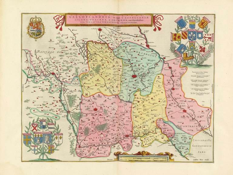
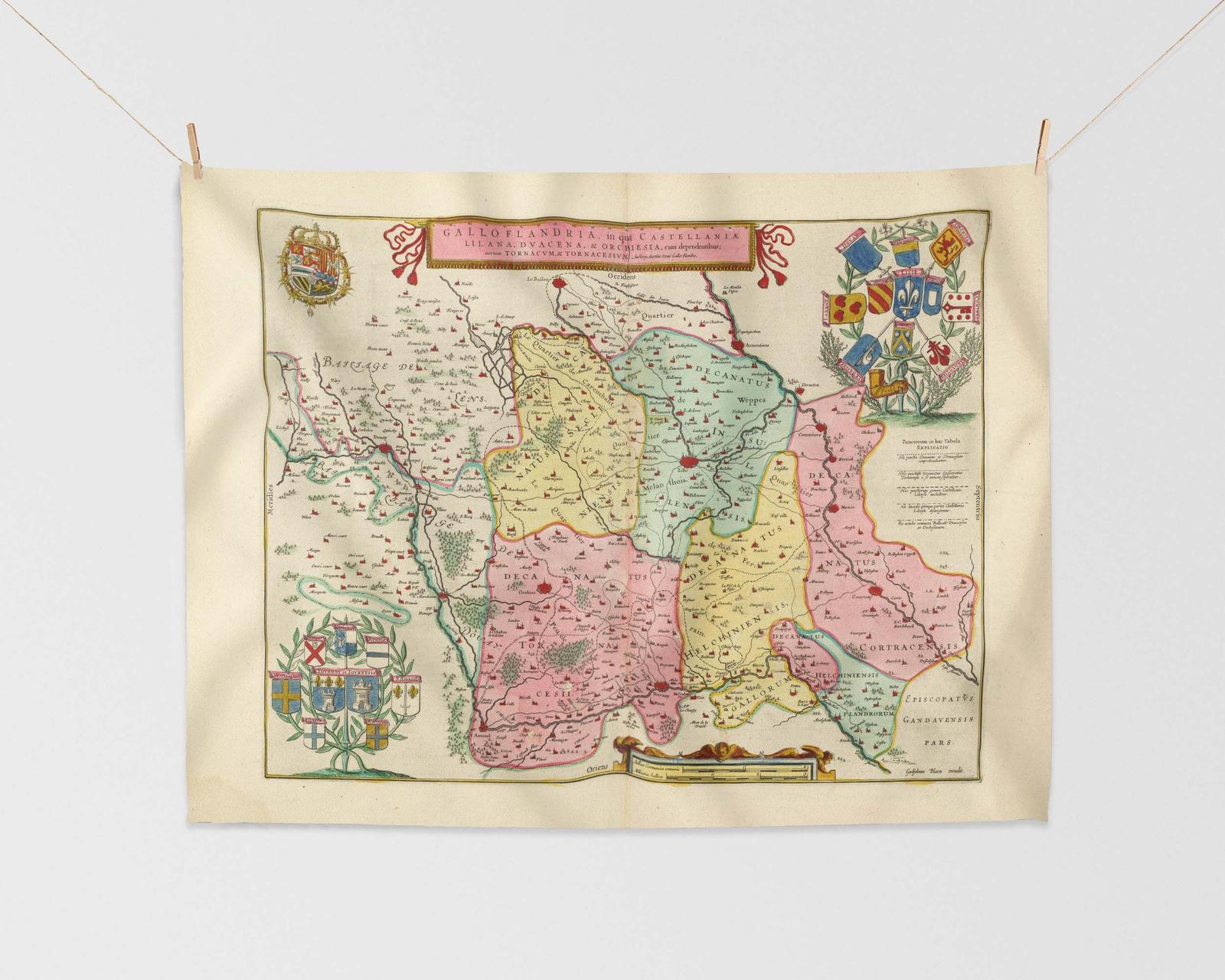
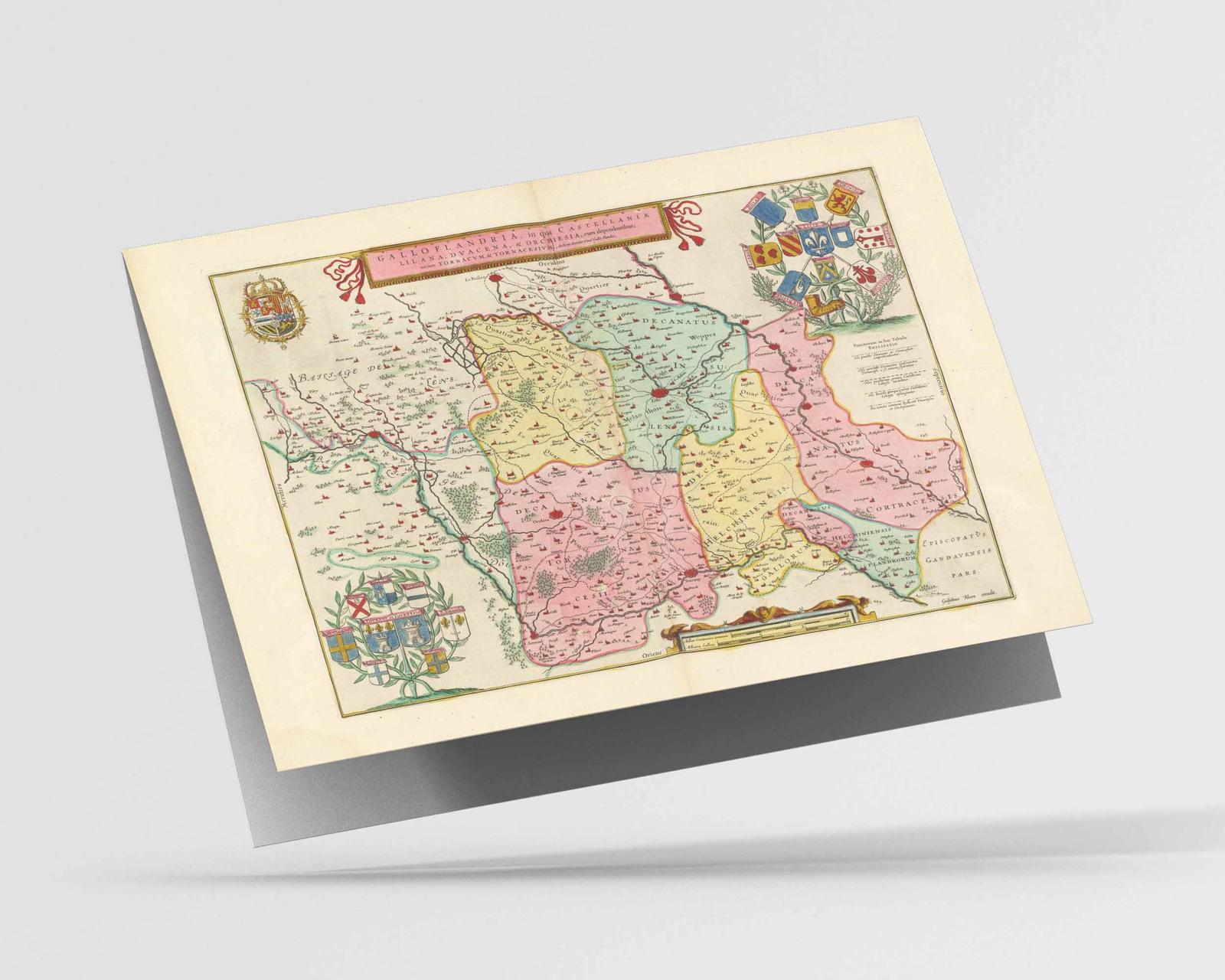
This antique map, created in 1665, is titled ‘Galloflandria…’ which translates to ‘France and Flanders’. France in the early 17th Century was a country in transition, with religious and political tensions still simmering after the Wars of Religion. The map shows the central region of France, including the cities of Lille, Villeneuve-d’Ascq, and Hellemmes, as well as the bordering country of Belgium. It provides a glimpse into the landscape and topography of the region, as well as the political boundaries and administrative divisions of the time.
Sizing Information

Dimensions
in Centimetres: 30 x 40cm
in Inches: 12 x 16"
Note that this is a borderless print; the image will be printed to the very edge of the paper size stated above.
Should you require a custom border or margin please get in contact before purchasing.
Real World Example

![]()
Model is 5'4" (1.60m)

Dimensions
in Centimetres: 60 x 45cm
in Inches: 18 x 24"
Note that this is a borderless print; the image will be printed to the very edge of the paper size stated above.
Should you require a custom border or margin please get in contact before purchasing.
Real World Example

Model is 5'4" (1.60m)

Dimensions
in Centimetres: 80 x 60cm
in Inches: 24 x 32"
Note that this is a borderless print; the image will be printed to the very edge of the paper size stated above.
Should you require a custom border or margin please get in contact before purchasing.
Real World Example
Model is 5'4" (1.60m)

Dimensions
in Centimetres: 75 x 100cm
in Inches: 32 x 40"
Note that this is a borderless print; the image will be printed to the very edge of the paper size stated above.
Should you require a custom border or margin please get in contact before purchasing.
Real World Example
Model is 5'4" (1.60m)

Dimensions
in Centimetres: 100 x 135cm
in Inches: 40 x 53"
Note that this is a borderless print; the image will be printed to the very edge of the paper size stated above.
Should you require a custom border or margin please get in contact before purchasing.
Real World Example
Model is 5'4" (1.60m)
Modern day map
More place names that may be covered by this map: Lomme, Hellemmes, Ronchin, Saint André Lez Lille, France, Nord Pas De Calais, Scheldt, Mons En Barœul, West Flanders, Nord
Also available as


Giclée Print Feedback:
Absolutely stellar service! Whilst I was considering my purchase Callum was extremely helpful and friendly, taking the time to actually talk to me rather than keep to business – how refreshing and genuine! I made my purchase quite late in the evening and was surprised to receive notification that it had been dispatched the following day! Lo and behold, I received the print within 48 hours – a remarkably quick turnaround!
Certainly no need to worry about Christmas delivery times! As for the print I bought – perfect… exceptional quality, with fine detail captured without fault. It’s on nice thick paper and packaged with care. I’ll definitely be back for more – I’ve already eyed up my next one!
Materials & print technology
| Printing method: Materials: Texture: Finish: Whiteness: |
Archival pigment print Fine art paper Smooth Matt Natural white |
Eco credentials
Sustainably sourced paper or wood
From sustainable forests.
Plastic free
Contains no plastic.
Water-based inks
Printed using water based pigment inks.
Recyclable
Print and packaging widely recycled.
Eco credentials
Water-based inks
Printed using water based pigment inks.
Plastic free
Contains no plastic.
Sustainably sourced paper or wood
From sustainable forests.
Recyclable
Print and packaging widely recycled.


Reviews